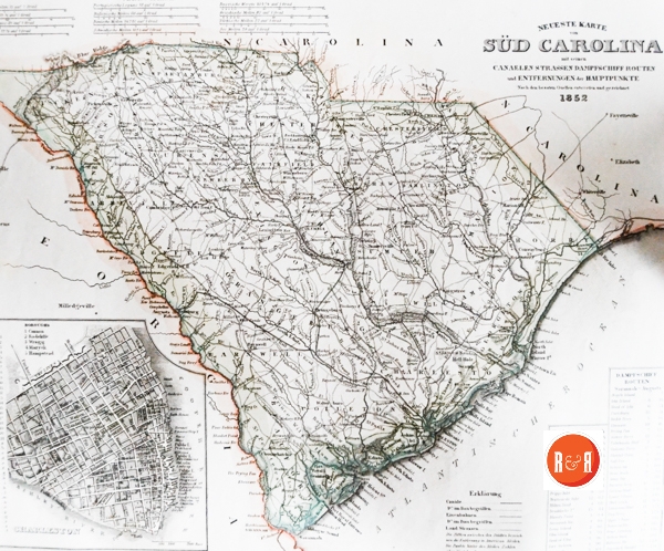
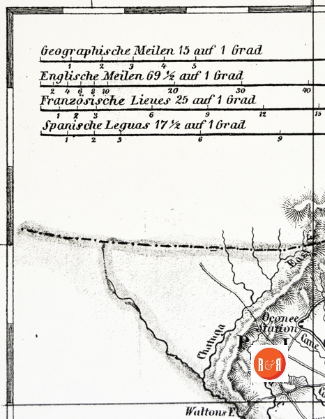
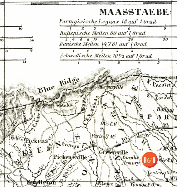
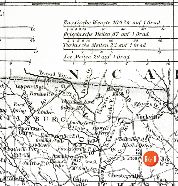
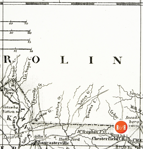
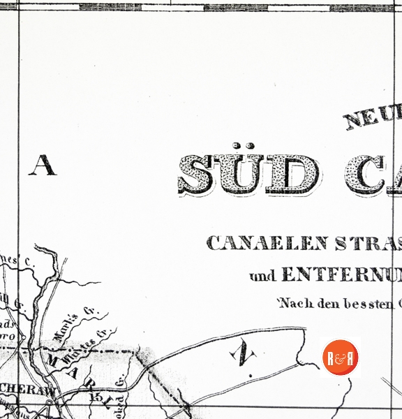
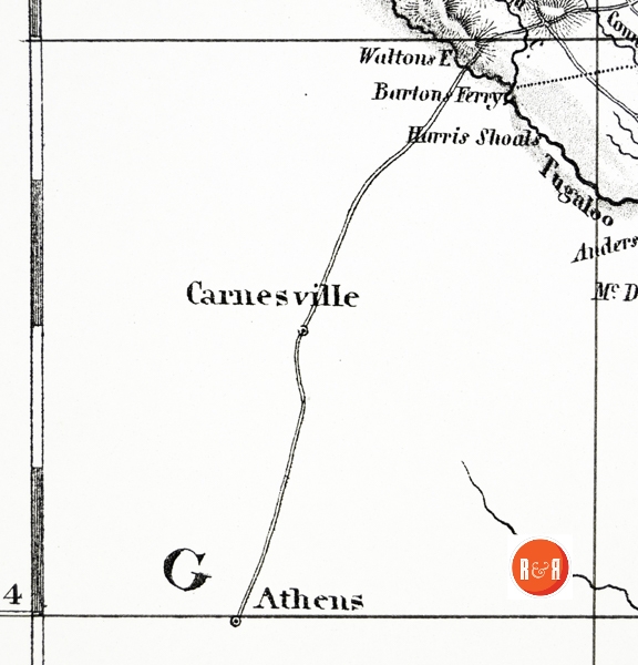

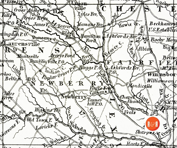
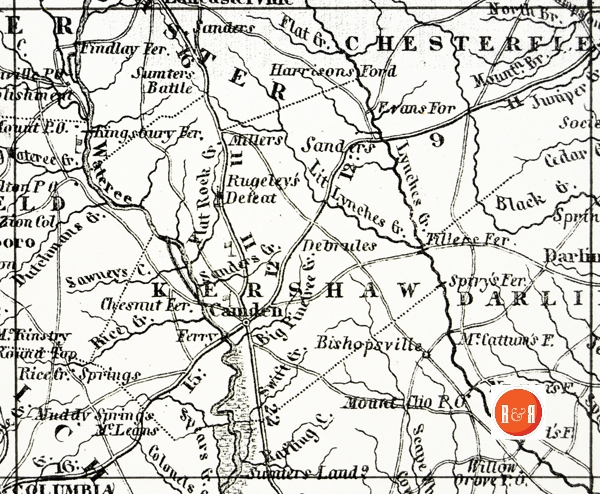
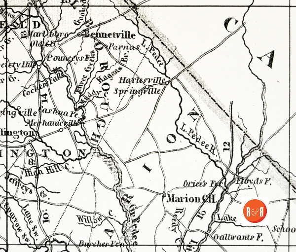
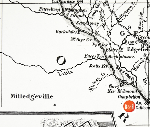
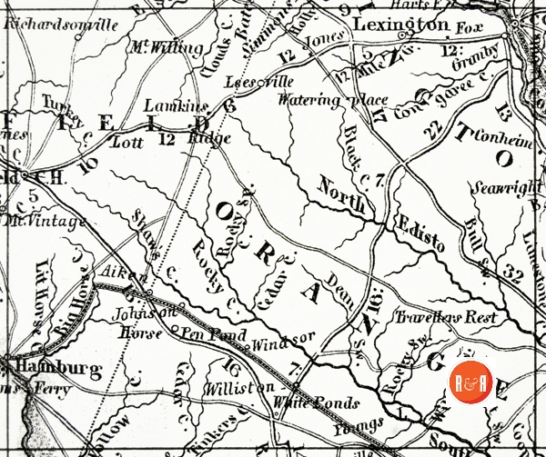
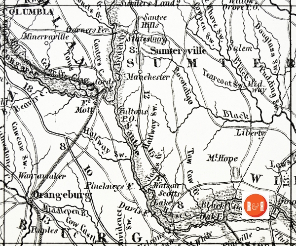
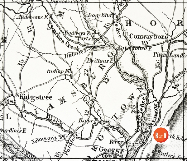
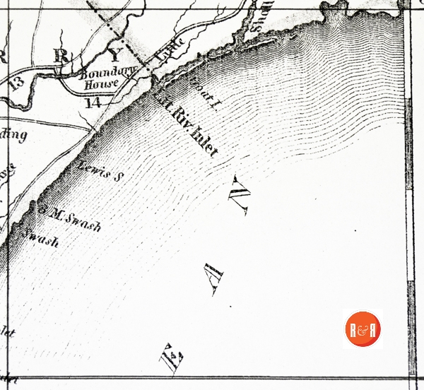
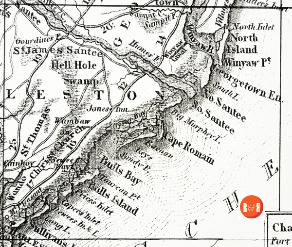
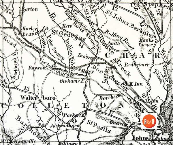
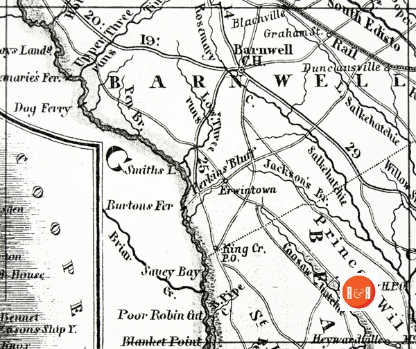
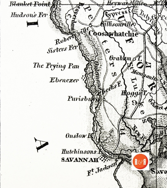
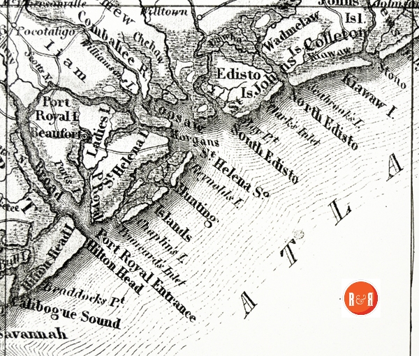
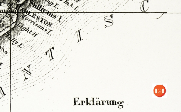
This 1852 map of South Carolina, shows locations rarely recorded by other cartographers, in the mid 19th century. R&R has subdivided the map into searchable sections, allowing quick review and study. The map maybe view in it’s entirety by opening the More Information / Enlargeable Map link under the primary picture or click on the individual section number to see an enlargeable map of a specific location.
Searchable sections:
Section #1 Section #10 Section #19
Section #2 Section #11 Section #20
Section #3 Section #12 Section #21
Stay Connected
Explore history, houses, and stories across S.C. Your membership provides you with updates on regional topics, information on historic research, preservation, and monthly feature articles. But remember R&R wants to hear from you and assist in preserving your own family genealogy and memorabilia.
Visit the Southern Queries – Forum to receive assistance in answering questions, discuss genealogy, and enjoy exploring preservation topics with other members. Also listed are several history and genealogical researchers for hire.
User comments welcome — post at the bottom of this page.
Please enjoy this structure and all those listed in Roots and Recall. But remember each is private property. So view them from a distance or from a public area such as the sidewalk or public road.
Do you have information to share and preserve? Family, school, church, or other older photos and stories are welcome. Send them digitally through the “Share Your Story” link, so they too might be posted on Roots and Recall.
Thanks!

User comments always welcome - please post at the bottom of this page.


Please would someone identify for me the unnamed Revolutionary war skirmish marked with a flag on Section 8, west side of the Wateree River in Fairfield Co, between the Rocky Mount P.O. and Big Wateree Creek.
Thanks.
Please see information on the Battle of Rocky Mount during the American Revolution.