Pegg, S. M, J. H Von Hasseln, and George B Brown. General descriptive map of Anderson County, S.C. [Anderson, S.C.] S.M. Pegg, . New York: Printed by Charles Hart, 1877] Map. Retrieved from the Library of Congress

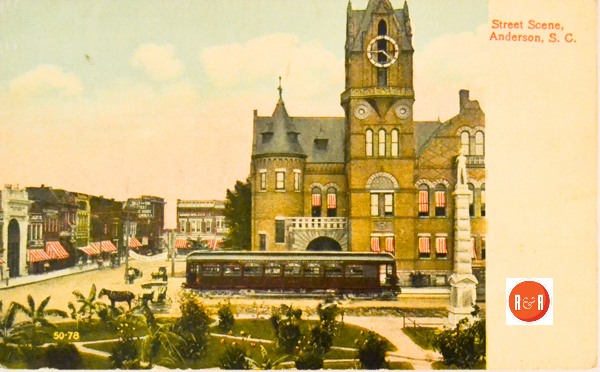
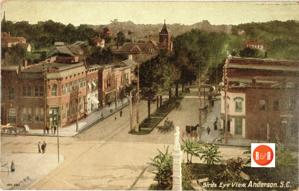
Courtesy of the Revels Postcard Collection -2015
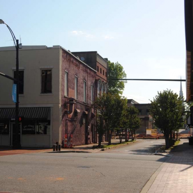
East Church Street (Brian Scott, 2016)
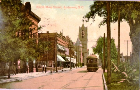
North Main Street – Courtesy of the Wingard Postcard Collection, 2013
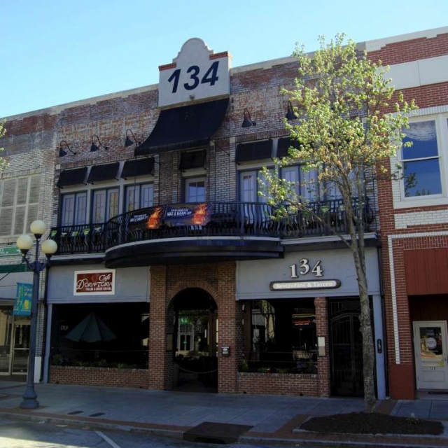
134 North Main Street (Brian Scott, 2016)
Von Hasseln, J. H, and George B Brown. Map of Anderson County, South Carolina. Anderson, S.C.: J.H. von Hasseln, 1897. Map. Retrieved from the Library of Congress
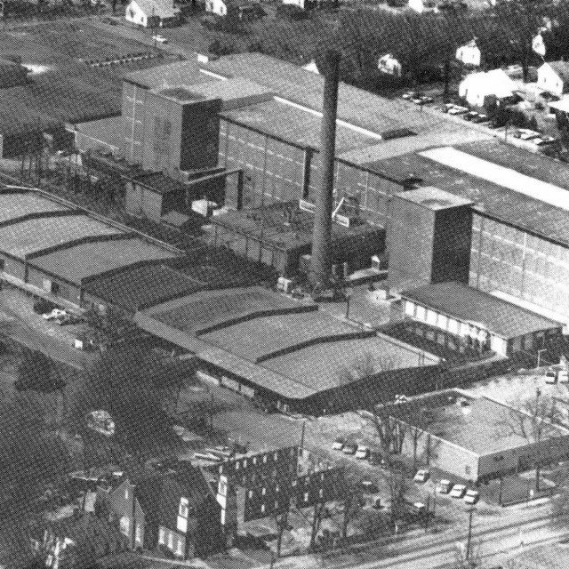
Orr Mills – Birdseye View
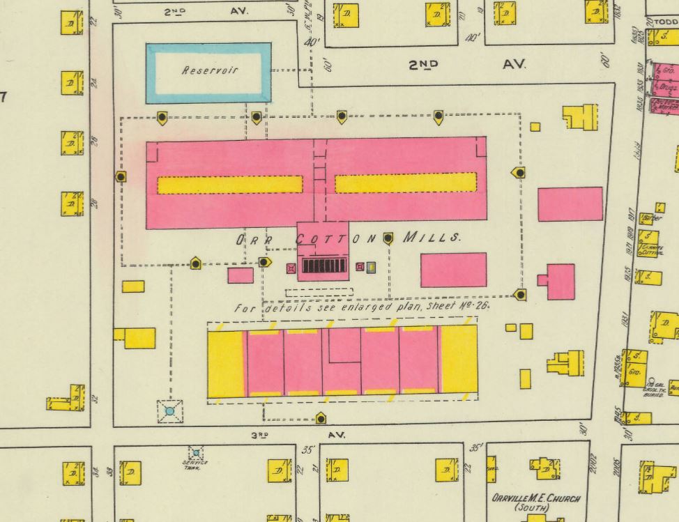
Orr Mills – Sanborn Map diagram 1918

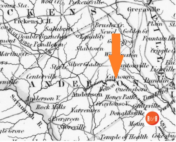
1852 Map of the Belton S.C.
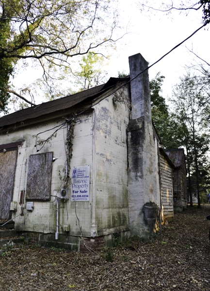
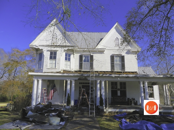
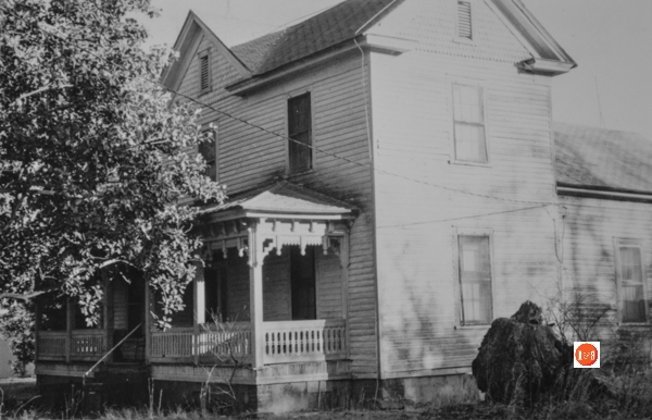
 Images courtesy of owner Cathi Mytko – 2016
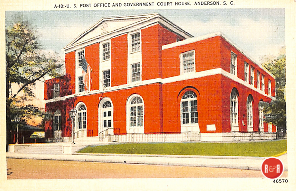
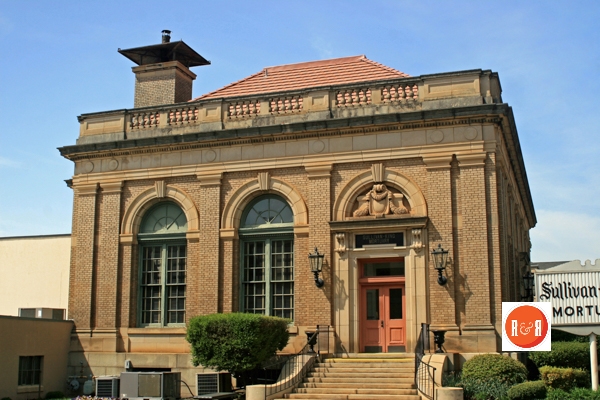
Anderson PO and Court building. Courtesy of the AFLLC Collection – 2017
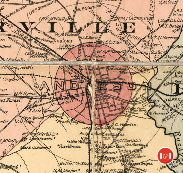
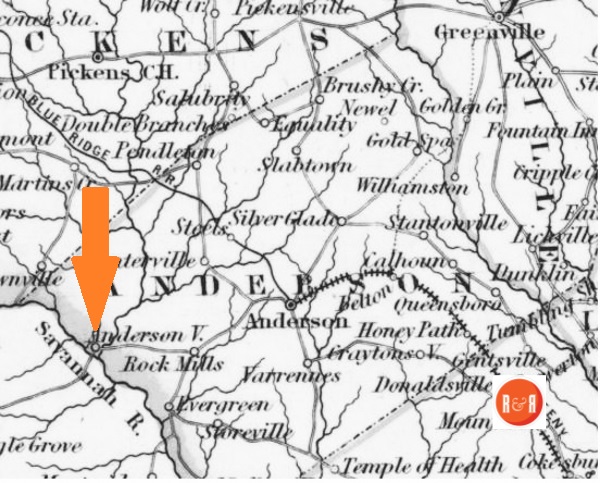
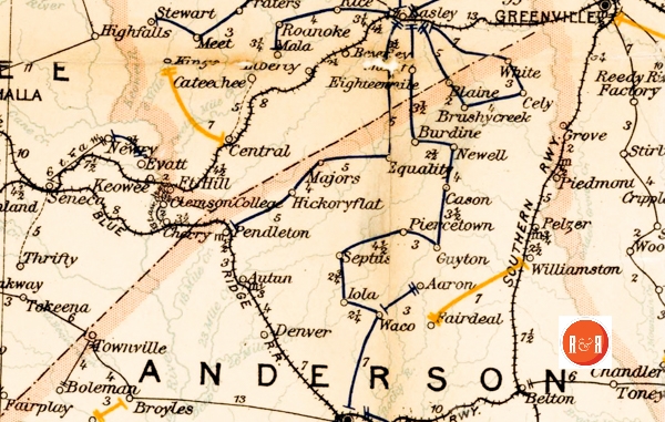
Anderson County – North
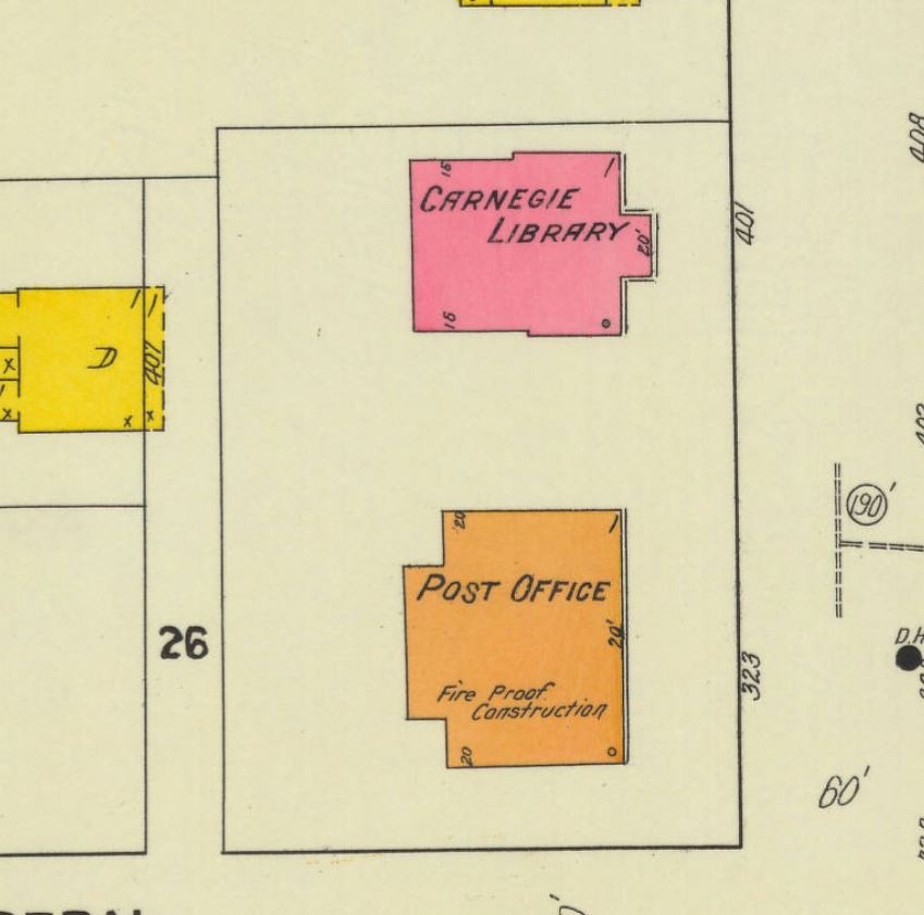
Sanborn Map diagram of the library and PO in 1911.
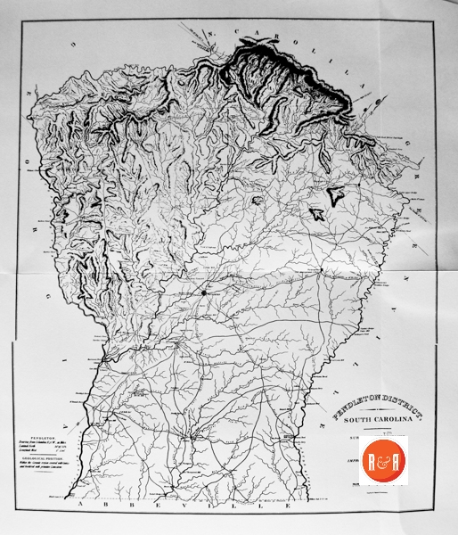
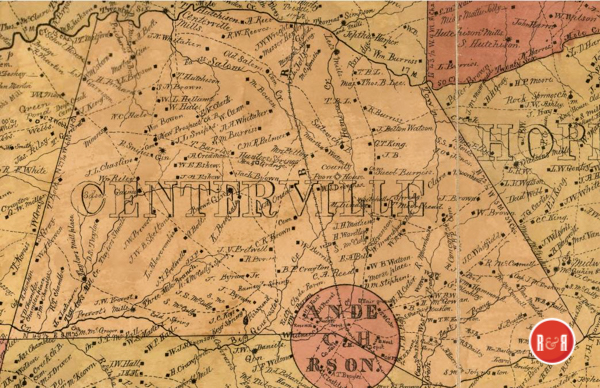
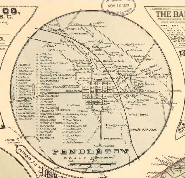
Anderson County was originally part of what was then Pendleton District
Von Hasseln, J. H, and George B Brown. Map of Anderson County, South Carolina. Anderson, S.C.: J.H. von Hasseln, 1897. Map. Retrieved from the Library of Congress
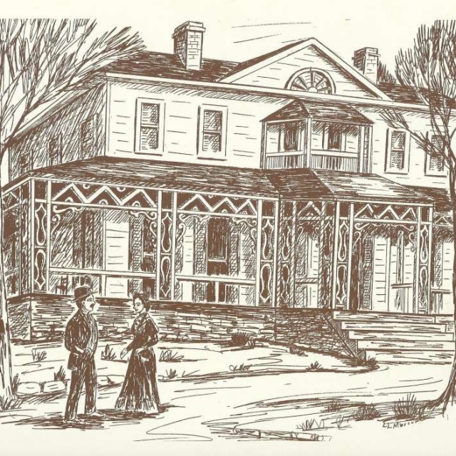
Boscobel (1885, drawn by Louise Marcum)
Courtesy of the Wingard Postcard Collection – 2013
Image courtesy of photographer Bill Segars – 2015
Courtesy of the SC Dept. of Archives and History
Queen Anne Architecture 1880 – 1910 The Queen Anne style evolved from those early English designs to become a distinctly American style with numerous, sometimes regional variations. The use of three dimensional wood trim called spindle-work was an American innovation made possible by the technological advances in the mass production of wood trim and the ease of improved railroad transport. Queen Anne buildings almost always have a steep roof with cross gables or large dormers, an asymmetrical front façade, and an expansive porch with decorative wood trim. A round or polygonal front corner tower with a conical roof is a distinctive Queen Anne feature. Courtesy Penn Arch. Field Guide – Website