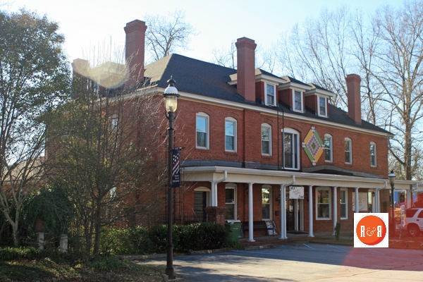
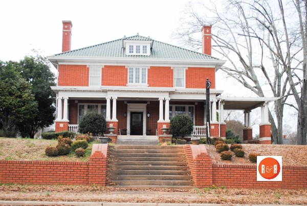
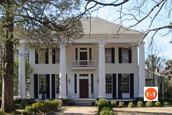
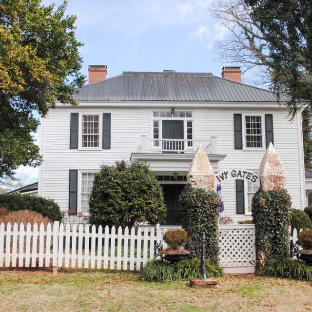
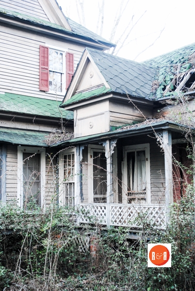
One of the beautiful historic dwellings that can be explored on the streets of McCormick Co., S.C. One of over 500 historic addresses – sites in the county to explore and enjoy on the pages of Roots and Recall!
Courtesy of the U.S. Corp. of Engineers – Lake Thurmond Repository
Courtesy of the U.S. Corp. of Engineers – Lake Thurmond Repository
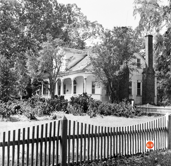
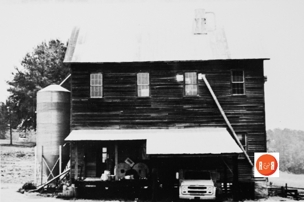
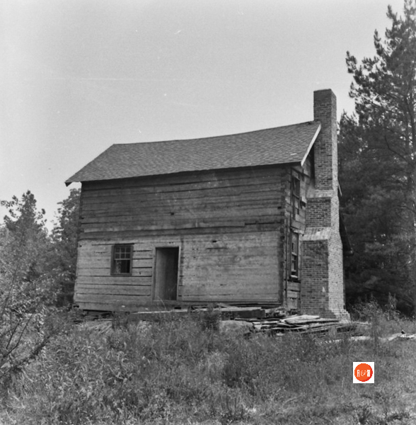
Image courtesy of the Blythe Collection – ca. 1982
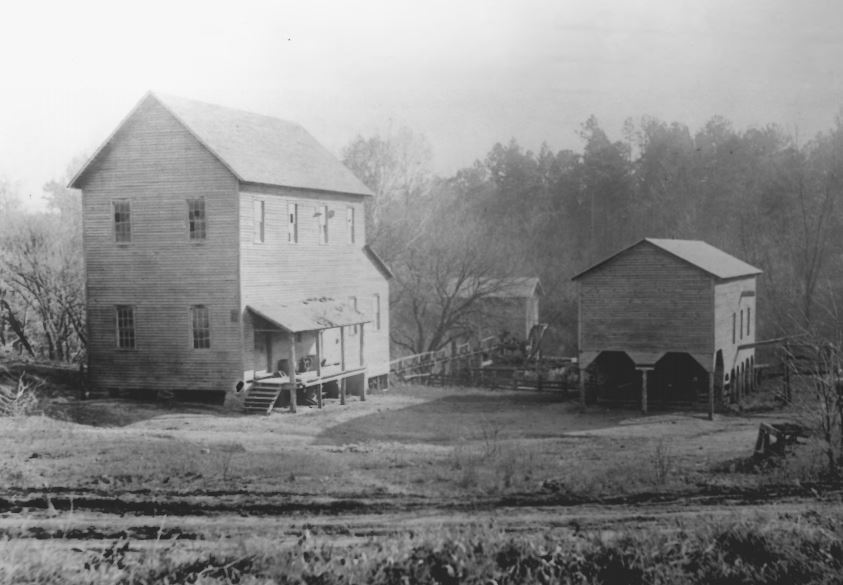
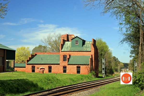
NR File Photo / Price’s Mill
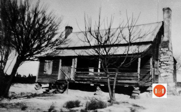
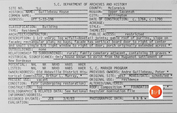
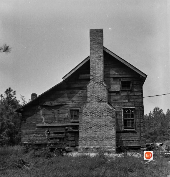
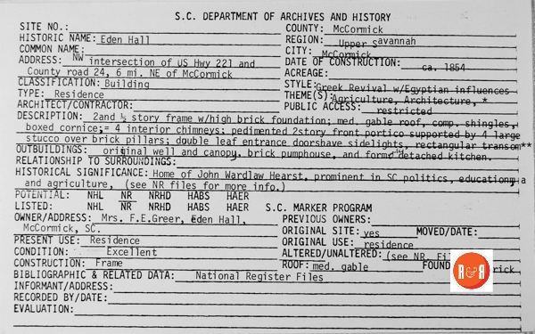
Courtesy of the S.C. Dept. of Archives and History
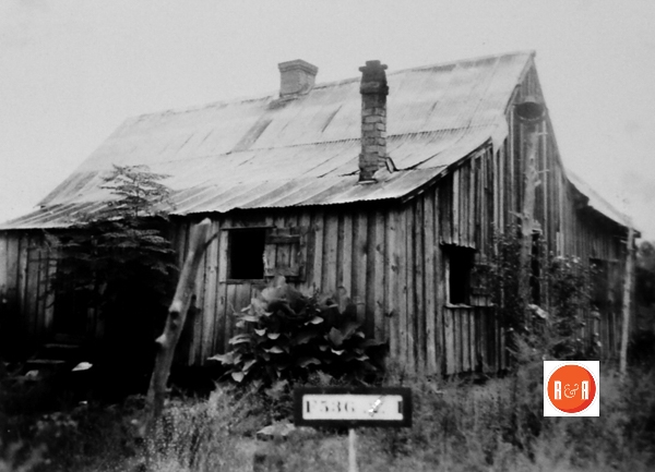
Blythe Group ca. 1980
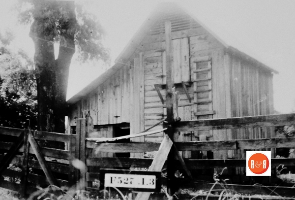
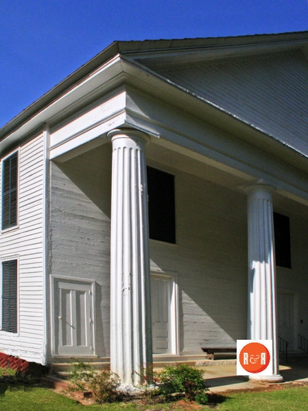
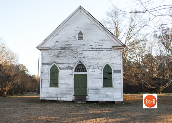
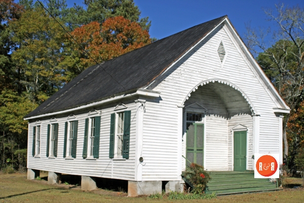
 Courtesy of the SC Dept. of Archives and History
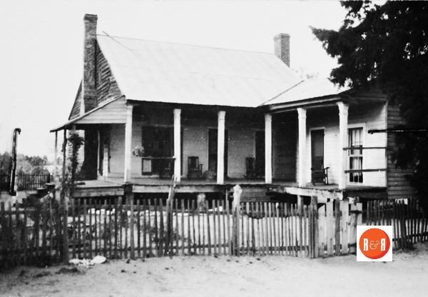
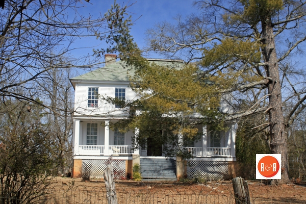
Image courtesy of the Segars Collection – 2015
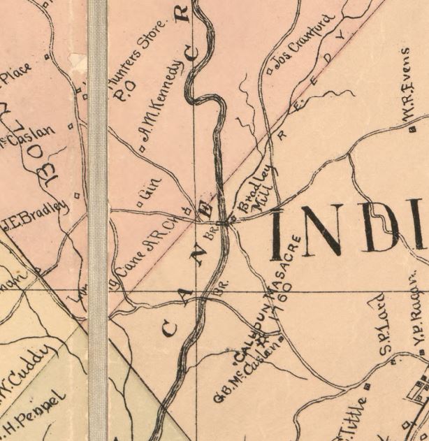
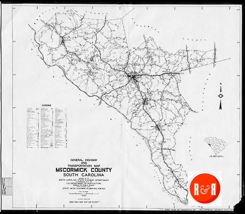
Bullock, W. P, and Paul L Grier. Official topographical map of Abbeville Co., South Carolina. [S.l.: P.L. Grier, 1894, 1895] Map. Retrieved from the Library of Congress
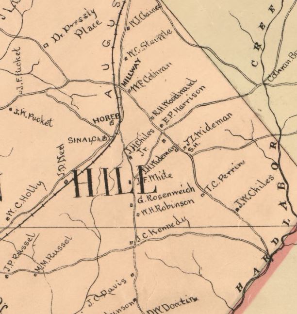
Bullock, W. P, and Paul L Grier. Official topographical map of Abbeville Co., South Carolina. [S.l.: P.L. Grier, 1894, 1895] Map. Retrieved from the Library of Congress
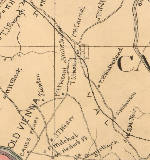
Bullock, W. P, and Paul L Grier. Official topographical map of Abbeville Co., South Carolina. [S.l.: P.L. Grier, 1894, 1895] Map. Retrieved from the Library of Congress
Bullock, W. P, and Paul L Grier. Official topographical map of Abbeville Co., South Carolina. [S.l.: P.L. Grier, 1894, 1895] Map. Retrieved from the Library of Congress