City Directories and History: This research collection of 20th century Rock Hill maps, was shared with R&R by the Galloway Collection for research purposes, associated with the rich history, of Rock Hill, S.C. The maps were originally owned by the People’s Bank and Trust, located on Main Street and used as part of their 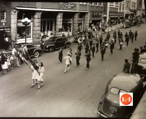
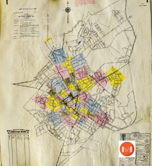
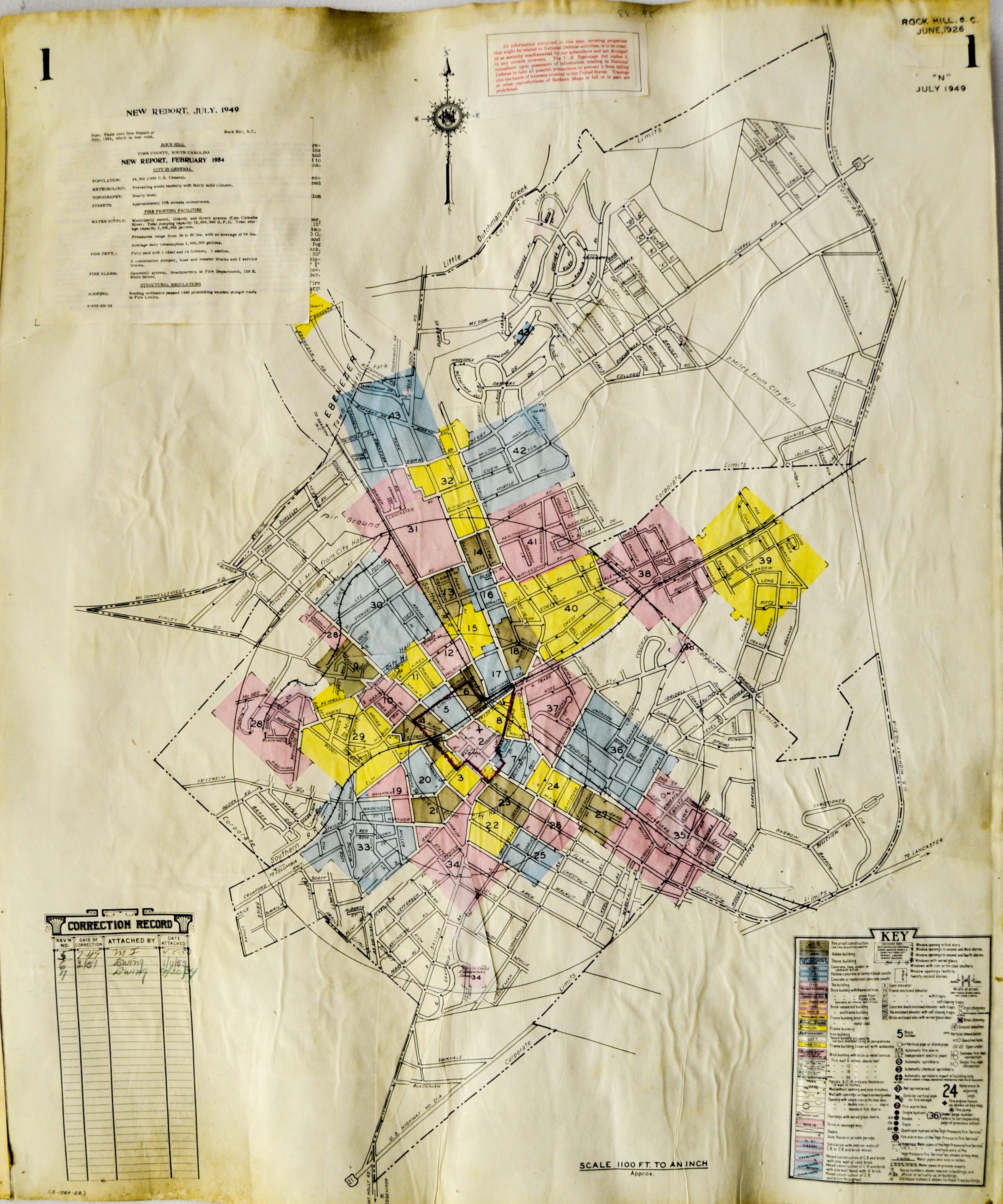
 insurance department to verify structures were worth insuring and changes to said structures. They are a remarkable collection of 43 individual maps, showing streets and homes, in mainly the downtown and Oakland corridors. Each map is associated with a neighborhood or small segment of the city as described. The maps themselves were originally printed in 1926 but through constant updates, the maps also depict changes in streetscapes until the late 1950s.
Stay Connected
Explore history, houses, and stories across S.C. Your membership provides you with updates on regional topics, information on historic research, preservation, and monthly feature articles. But remember R&R wants to hear from you and assist in preserving your own family genealogy and memorabilia.
Visit the Southern Queries – Forum to receive assistance in answering questions, discuss genealogy, and enjoy exploring preservation topics with other members. Also listed are several history and genealogical researchers for hire.
User comments welcome — post at the bottom of this page.
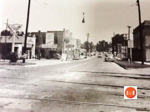
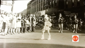
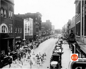
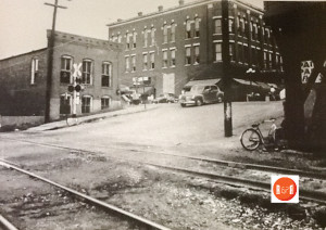
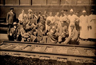
Misc. older images of downtown Rock Hill shared by R&R’s many contributors. Thanks for sharing to preserve our local history!
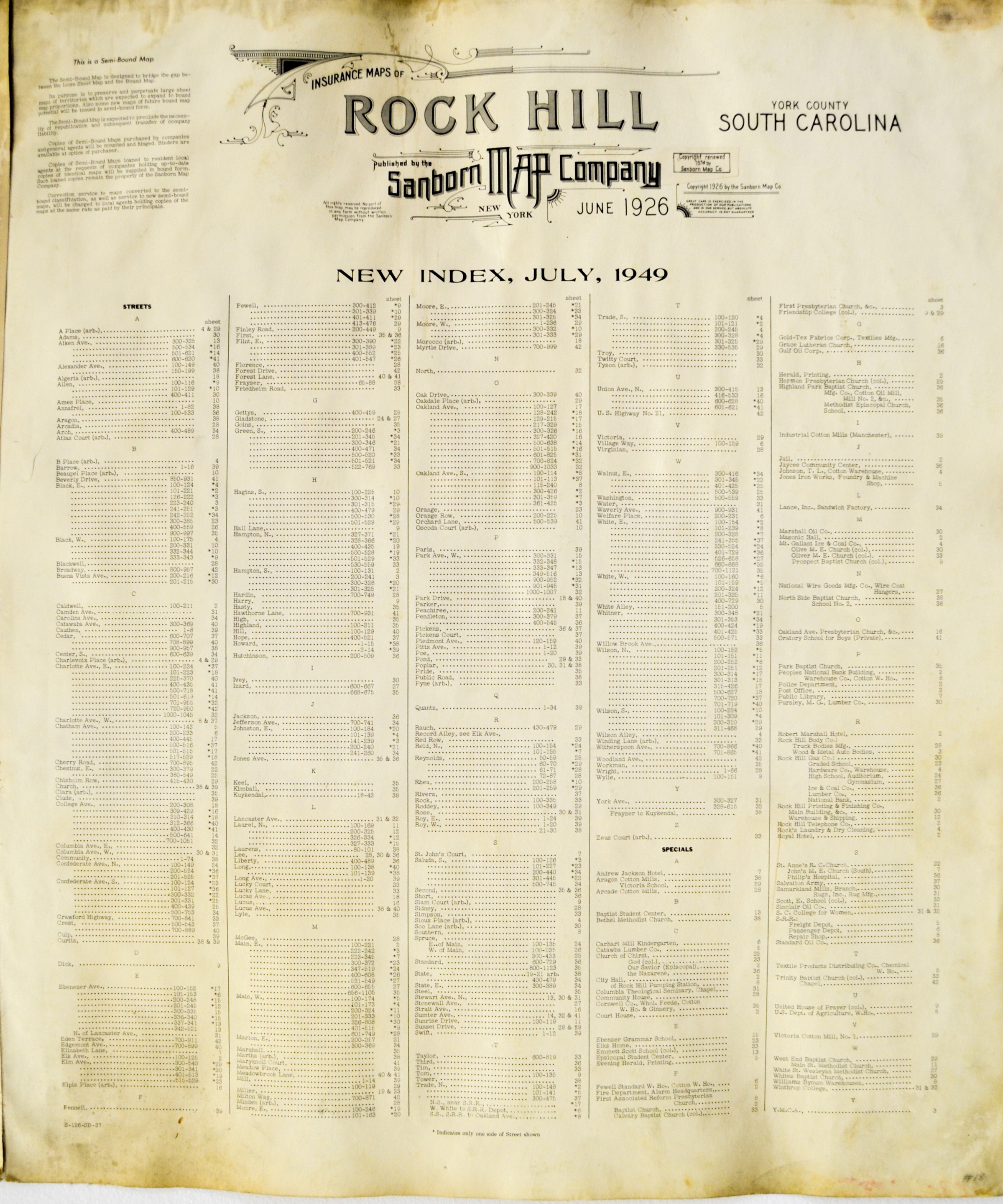
By clicking on the corresponding map number, R&R users may research related enlargeable maps, of each quadrant which will open in a second display window. Assistance in determining which map you need — click on the More Information link found under the picture column for a display of the map and subject index pages.
INDEX PAGES – See the More Information links.
2) MAP
3) MAP
4) MAP
5) MAP
6) MAP
7) MAP
8) MAP
9) MAP
10) MAP
11) MAP
12) MAP
13) MAP
14) MAP
15) MAP
16) MAP
17) MAP
18) MAP
19) MAP
20) MAP
21) MAP
22) MAP
23) MAP
24) MAP
25) MAP
26) MAP
27) MAP
28) MAP
29) MAP
30) MAP
31) MAP
32) MAP
33) MAP
34) MAP
35) MAP
36) MAP
37) MAP
38) MAP
39) MAP
40) MAP
41) MAP
42) MAP
43) MAP
THESE MAPS ARE NOT FOR REPRODUCTION OR REPRINT
Please enjoy this structure and all those listed in Roots and Recall. But remember each is private property. So view them from a distance or from a public area such as the sidewalk or public road.
Do you have information to share and preserve? Family, school, church, or other older photos and stories are welcome. Send them digitally through the “Share Your Story” link, so they too might be posted on Roots and Recall.
Thanks!
User comments always welcome - please post at the bottom of this page.


Share Your Comments & Feedback: