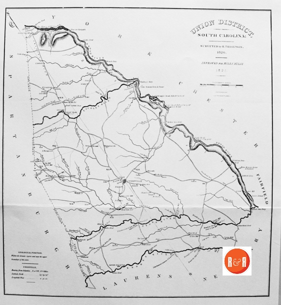
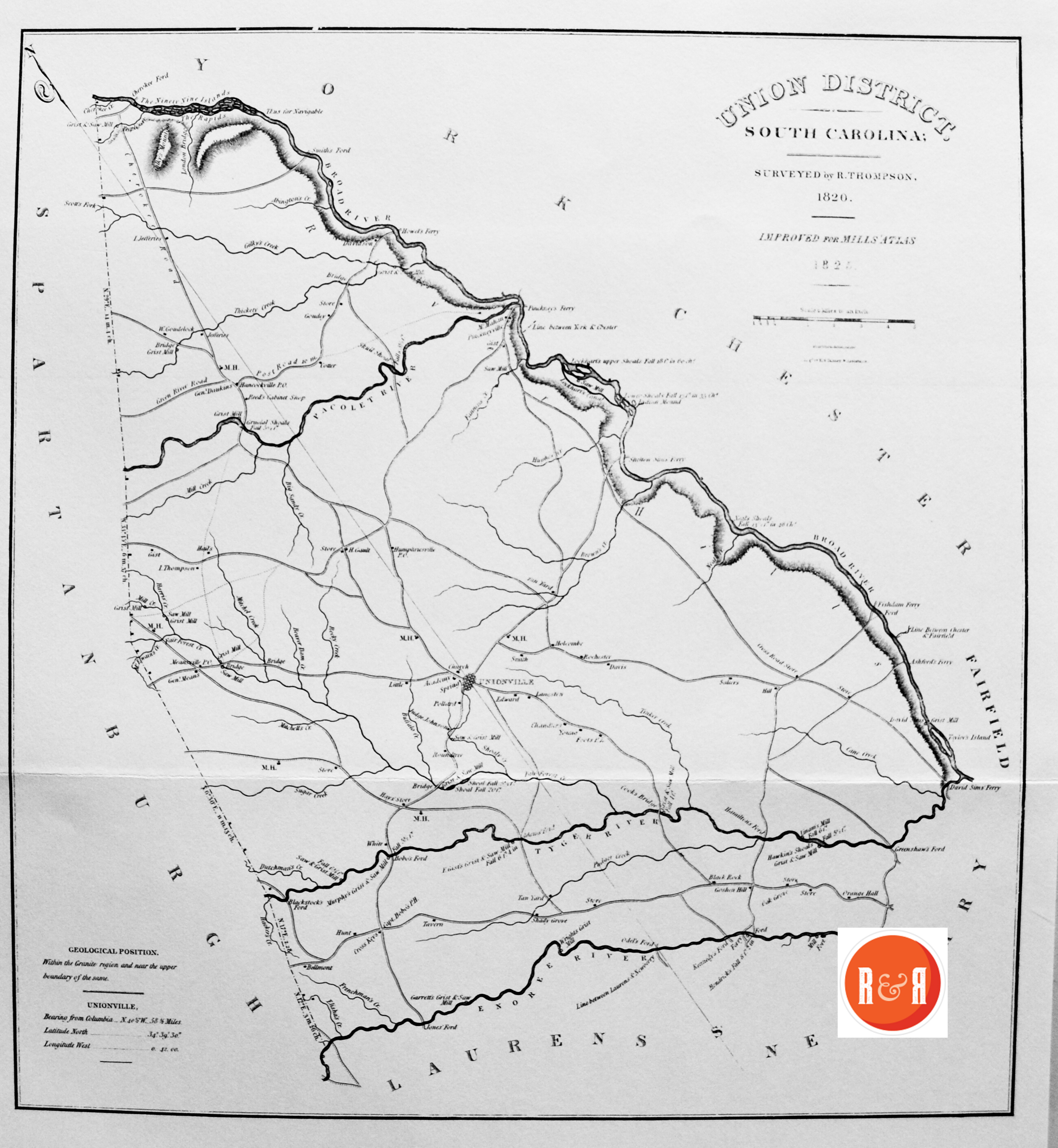
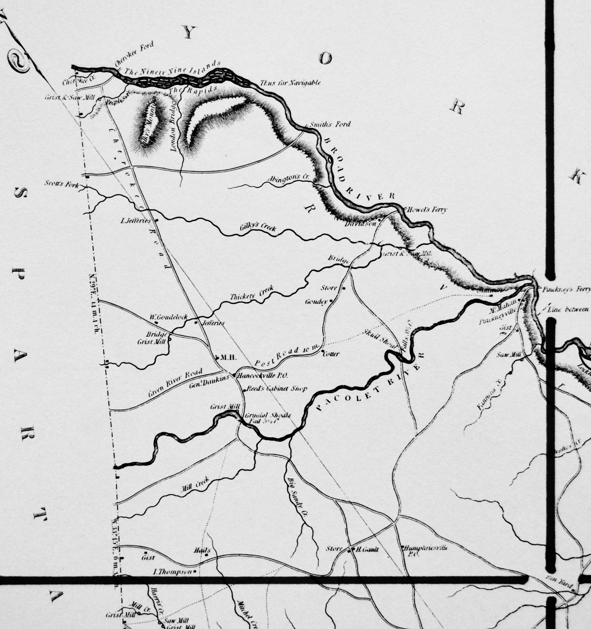
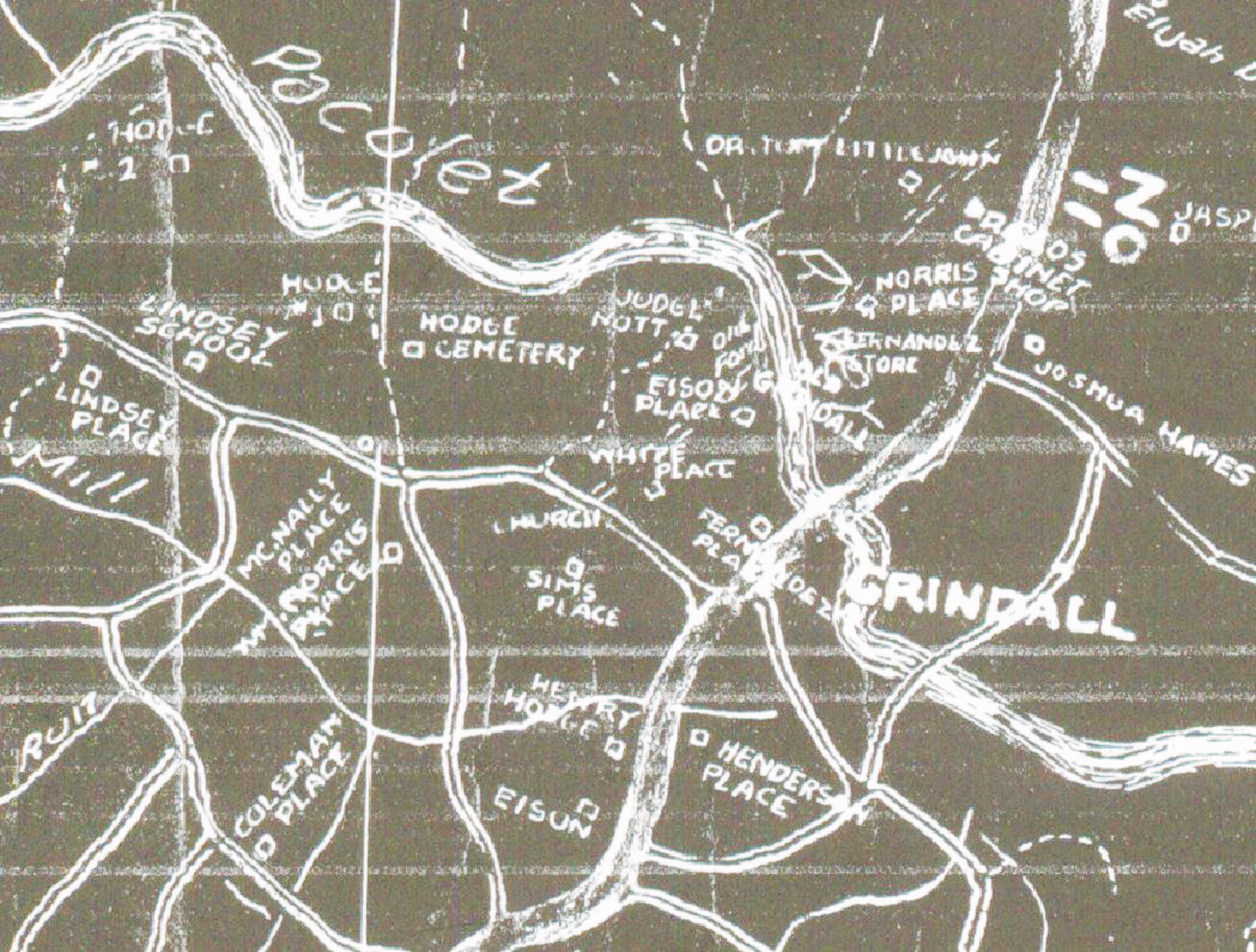
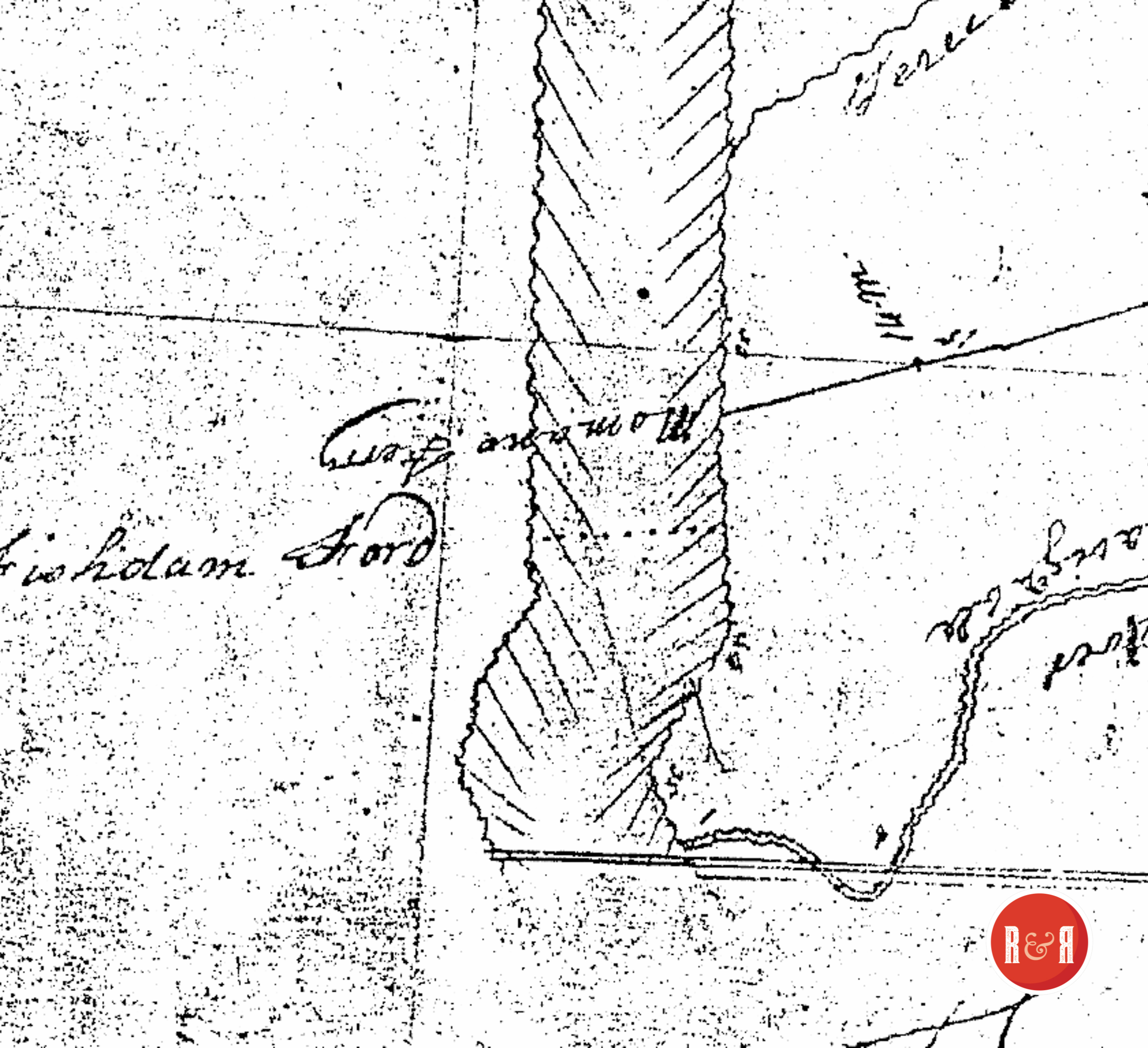
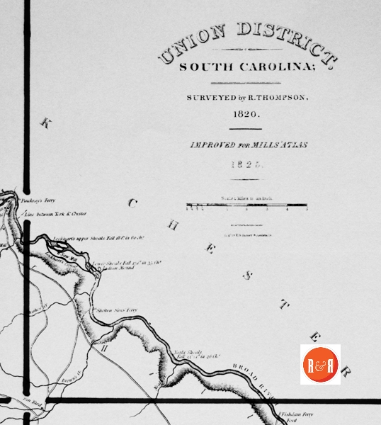
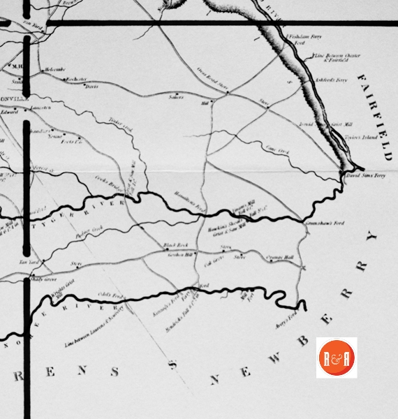
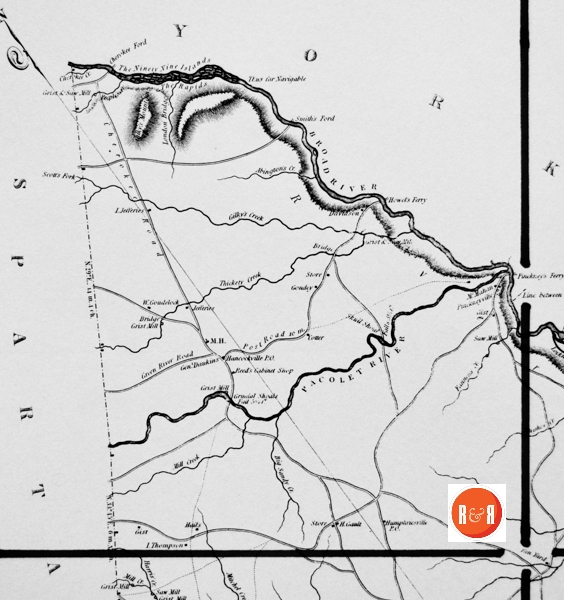
City Directories and History: Architect, Mr. Robert Mills was hired by the State of S.C. to create accurate maps of the state’s districts. In turn, he employed knowledgeable surveyors to survey the local areas, from which he created his finished maps of S.C., districts or counties. This resulted in accurate maps of roads, streams, and cities located in each. Click on the More Information / Enlargeable links, (found under the picture column), for an enlargeable county map, a history of Robert Mill’s survey of S.C. counties, written by Gene Waddell in 1980, an index to the names listed on the maps, and enlargeable quadrants for conducting in depth research.
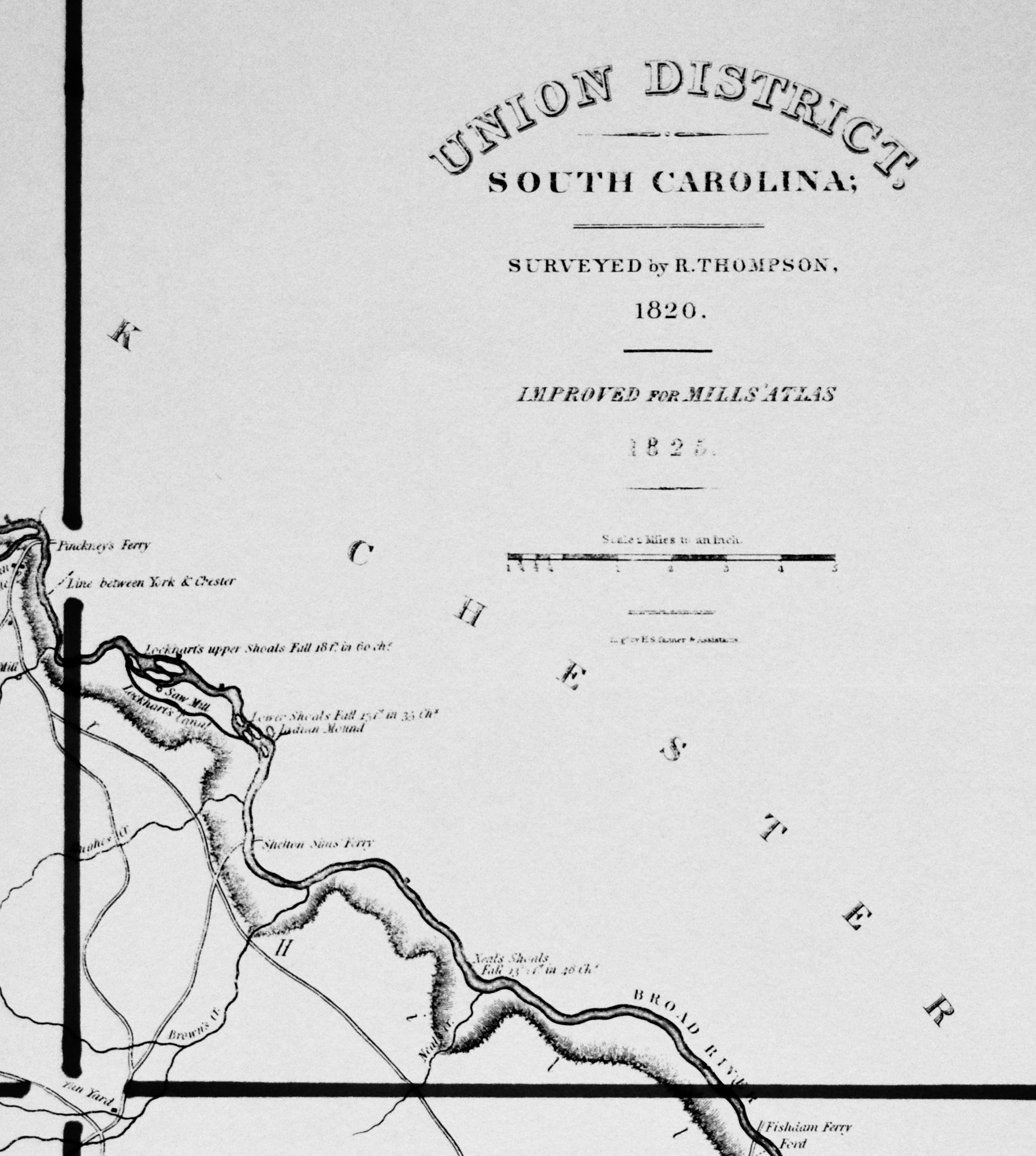
“Richard Thompson was a resident of Spartanburg District and was one of the best surveyors, but he prepared only the map of Union District. He was paid $950 on 11 December, 1818. His manuscript map and aversion of it that was printed in 1821 both survive and were both made to the scale of two miles to one inch (indicating that he probably began his survey in 1816). This printed version follows the manuscript more closely than the Atlas plate, and while both the manuscript and the initial printing are excellent, they share some common faults such as the inscription of placenames in random directions and the indication of a mountain with a blurred gray area. James Wood was paid for the engraving in April, 1821, and Wright & Smith for the printing one month later.” Information from: Mill’s Atlas of South Carolina – 1825, Southern Historical Press, 1980
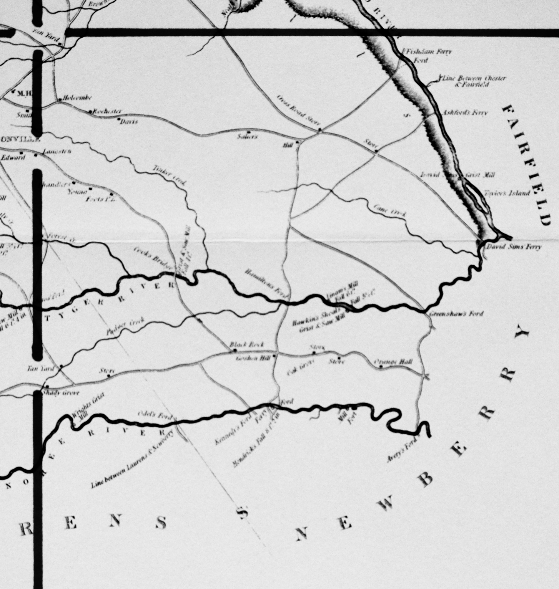
R&R has also taken individual county maps and created a list of their recorded sites, allowing R&R’s users, faster access to historic data. Each of the More Information links opens items connected to the Mill’s map of this county. The last three are those related to Quadrants 1-3. Names within each quadrant are listed below and at the bottom of the page, is an alphabetical list, of all names shown in Union District, along with other counties in which the name also appears. Click the highlighted link to see another example of the Union District map.
Scroll down to see the alphabetical listing of names in each section:
| Abington – U | Howell’s Ferry – U, Y |
| Adam – A, R -U | Hughes Creek – U |
| Ashford – N, U | Humphriesville P.O. – U |
| Ashford’s Ferry – U | Hunt – U |
| Avery – N, U | Johnson, Judge – U |
| Avery’s Ford – N, U | Jones’ Ford – Lau, U |
| Bellmont – U | Kennedy – Cha, Co, F, N, U |
| Black Rock – U | Kennedy’s Ford – N, U |
| Blackstock’s Ford – U | Laurens – Gr, N, Sp, U |
| Bobo Ford – U | Lengston – U |
| Bobo, Capt. – P, H, U | Linam – Su, U |
| Buffalo Creek – A, Ch’f, N, U, Y | Linam’s Mill – U |
| Cane Creek – P, Sp, U | Line between Chester and Fairfield – U |
| Chandle – Co, N, Su (2), U | Line between Laurens and Newberry – U |
| Cherokee Creek – P, Sp, U | Little – Lau, U |
| Cherokee Ford – A, U, Y | Lockhart – Ch, U |
| Chester – F, Lan, U, Y | London Bridge – U |
| Cook’s Bridge – O, U | McEwain’s Creek – U |
| Cotter – U | McMahon – U |
| Cross Keys – U
The YK Enquirer reported on Feb. 2, 1871 – “The dwelling, smokehouse, and kitchen of Mr. Andrew Estes near Cross Keys has burned.” |
Meansville P.O. – U |
| Cross Roads Store – U | Michel – U |
| Davidson – U (2) | Michell – H, U |
| Davis – A, Be, Lex, Mar (2), O, U | Mitchel Creek – U (2) |
| Dawkin, Gen. – U | Murphy’s Grist and Saw Mill – U |
| Dutchman’s Creek – F, Sp, U, Y | Neal – E (2), U |
| Elisha’s Creek – U | Neal’s Shoals – U |
| Ennoree (Enoree) River – Gr, Lau, N (2), Sp (2), U | Neals Creek – U |
| Fair Forest Creek – Sp, U (2) | Newberry – F, Lau, Lex, U |
| Fairfield – K, Lan, Lex, N, R, U | O, P, Su, U |
| Falls 3% ft. – U | Oak Grove – Cha (2), Co, Su, U |
| Fannen-U | Odel – N, U |
| Fannin’s Creek – U | Orange Hall – U |
| Ferry – Be, Cha (2), Co, K (4), Lan, N (2), U,Y(S) | Pacolet River – Sp (2), U, Y |
| Fishdam Ferry – U | Padgee Creek – U |
| Foot – Ch, U | Padget – Co, U |
| Foot’s P.E. – U | Peeples – Ba, Be, F, U |
| Ford – K, Lex, N, R (2), U (2) | Peeples Creek – Sp, U |
| Fort – Be, Cha (4), Ge, U | Pinckneyville – U |
| Frenchman’s Creek – U | Pollard – A (2), Gr, U |
| Garrett – Lau, U | Post Road – U, W (2) |
| Garrett’s Grist and Saw Mill – U | Reed – A, E, P, U |
| Gault – Sp, U | Reed’s Cabinet Shop – U |
| Gault, H. – U | River Hills – U |
| Gilky – U | Rochester – U (2) |
| Gilky Mountian – U | Roundtree – U |
| Gilky’s Creek – U | Salter – U |
| Gist – P, Sp, U (2) | Samuel – U |
| Gist, F. – U | Saw and Grist Mill – P, U (3) |
| Gist’s, E. Grist and Saw Mill – U | Saw Mill – Lex, Mar, O, U (3) |
| Goshen Hill – U | Scot’s Fork – U |
| Goudelock – U | Shady Grove – U |
| Goudelock, W. – U | Shealy – U |
| Goudoy – U | Shealy Creek – U |
| Green River Road – U | Sim’s, Shelton: Ferry – U |
| Greenshaw – N, U | Sims, David: Ferry – U |
| Greenshaw’s Ford – N, U | Sims, Shelton – U |
| Grindal – U | Skull Shoal – U |
| Grindal Shoals – U | Smith Ford – U, Y |
| Grist and Saw Mill – U (2) | Sp, Su, U |
| Grist Mill – F, U (5) | Spartanburgh – Gr, Lau, Sp, U, Y |
| Hacken – U | Spring – Cha, Mar (2), Su, U |
| Hacken’s Creek – U | Su (25), U |
| Hail – U | Sugar Creek – Sp, U, Y |
| Hamilton – U | Tan Yard – U |
| Hamilton’s Ford – U | Taylor – Ba, F, Ge (2), K, Su (3), U, Y |
| Hancockville P.O. – U | Taylor’s I. – F, U |
| Harris Creek – Ch’f, Sp, U | The Ninety Nine Island – U, Y |
| Hawkin’s Shoals Grist and Saw Mill – U | The Rapids – U |
| Hay – Mar, U | Thicketly Creek – Sp, U |
| Hays’ Store – U | Thompson, I. – Ba, U |
| Hendrick – Ch’f, N, U | Thus for Navigable – U, Y |
| Hendrick’s Fall – N, U | Tinker – Ba, U |
| Hill – A, D, F, Gr, Su, U, Y | Tinker Creek – Ch, U |
| Holcombe – U (2) | Tyger River – F, N, Sp, U |
| Howel or Howell – H, U, Y | Unionville – U |
| Wright – A, Lau, N, Su, U | |
| Wright’s Grist Mill – U | |
| York – Lan, Sp, U | |
| Hill – A, D, F, Gr, Su, U, Y |
Stay Connected
Stay connected with R&R, “Explore S.C. history, houses, & family stories…” Sign up for a R&R membership. Members receive the “From the Porch” blog, updates on regional topics, and targeted notifications of their choice. Membership also includes travel opportunities: Carolina DeJaunts.
User comments welcome – post at the bottom of this page.
Please enjoy this structure and all those listed in Roots and Recall. But remember each is private property. So view them from a distance or from a public area such as the sidewalk or public road.
Do you have information to share and preserve? Family, school, church, or other older photos and stories are welcome. Send them digitally through the “Share Your Story” link, so they too might be posted on Roots and Recall.
Thanks!
User comments always welcome - please post at the bottom of this page.


Share Your Comments & Feedback: