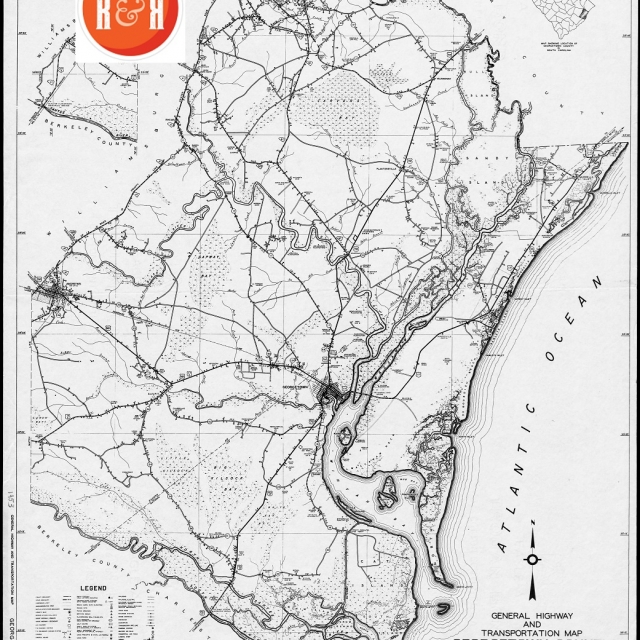
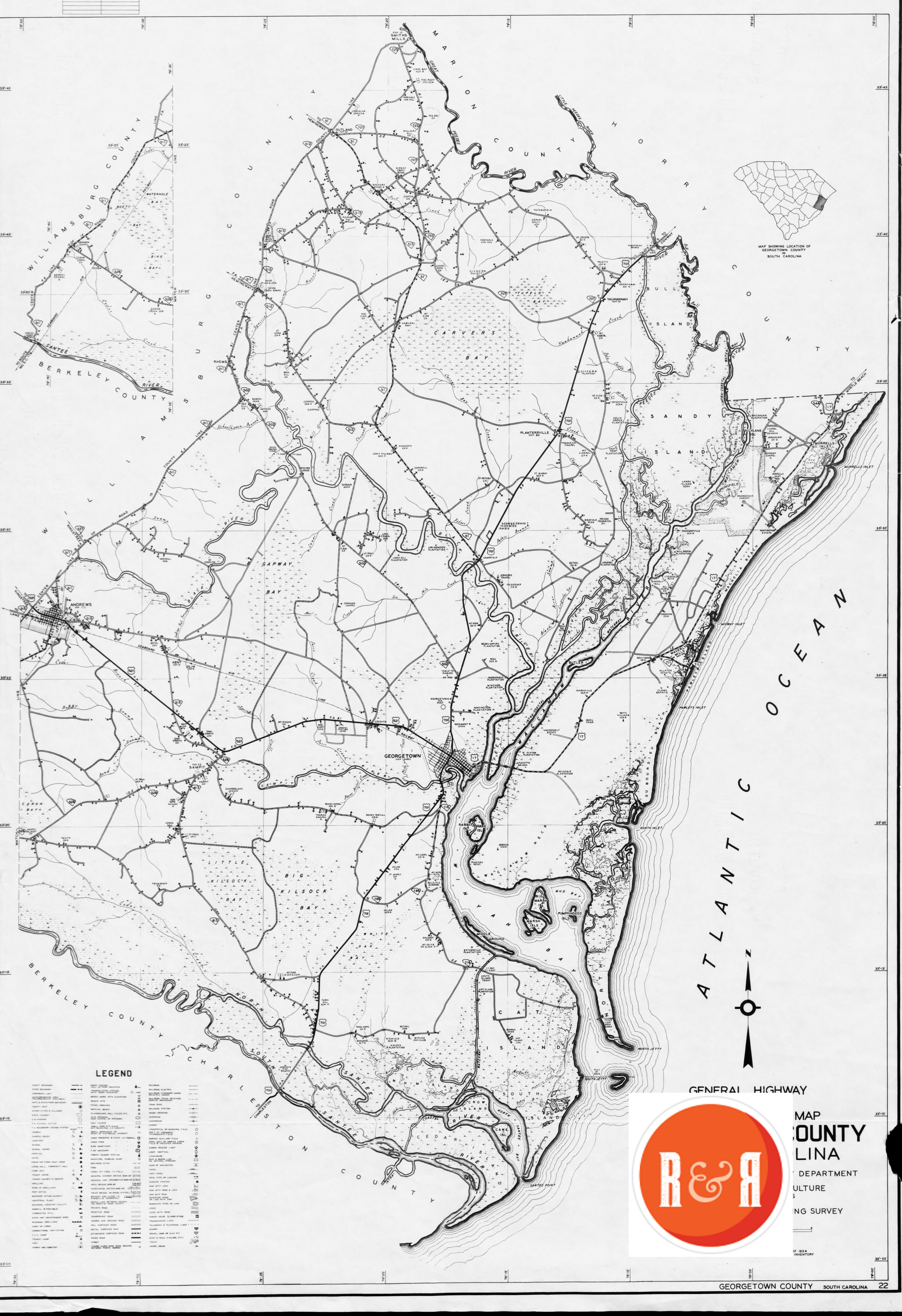
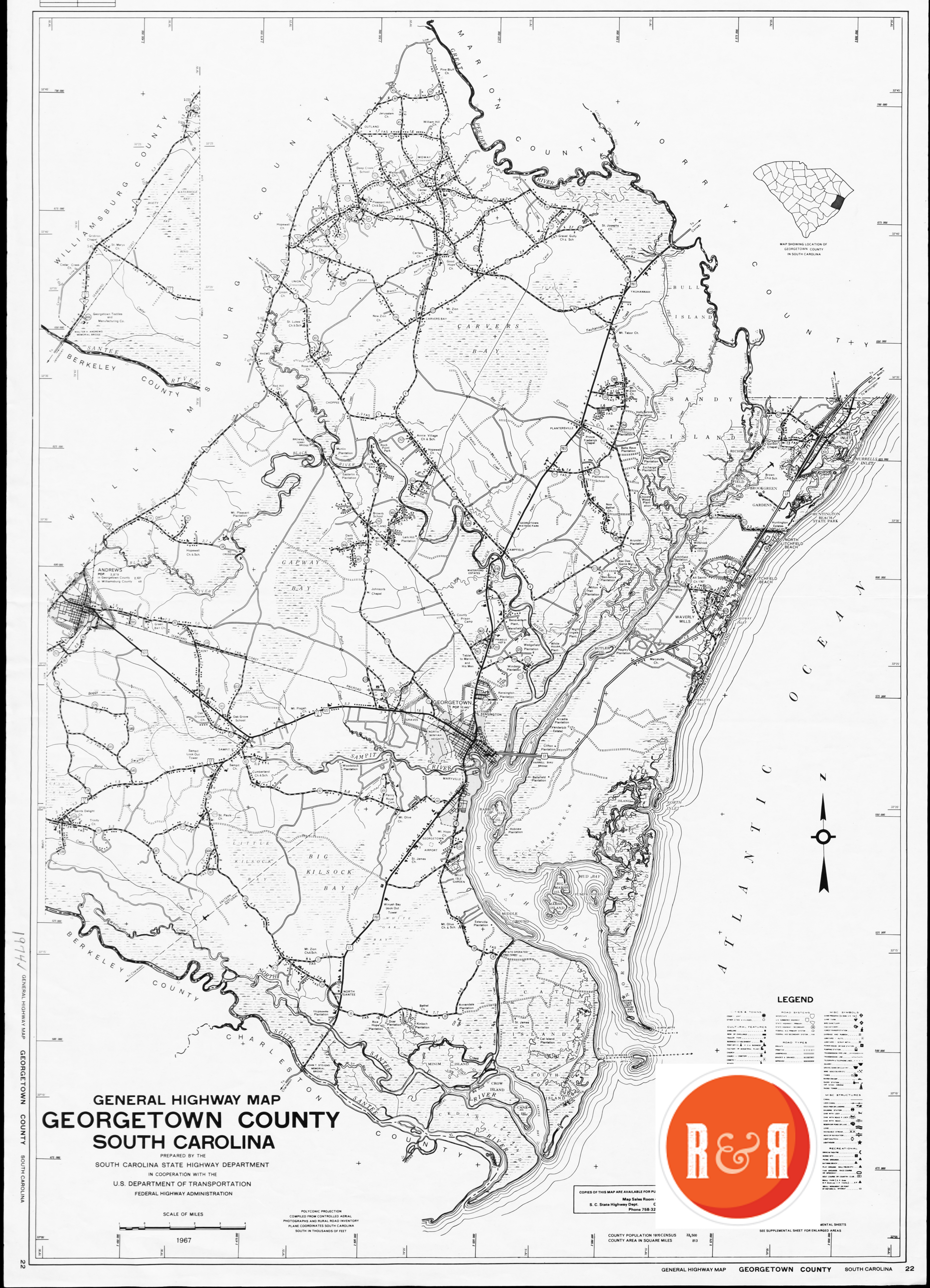
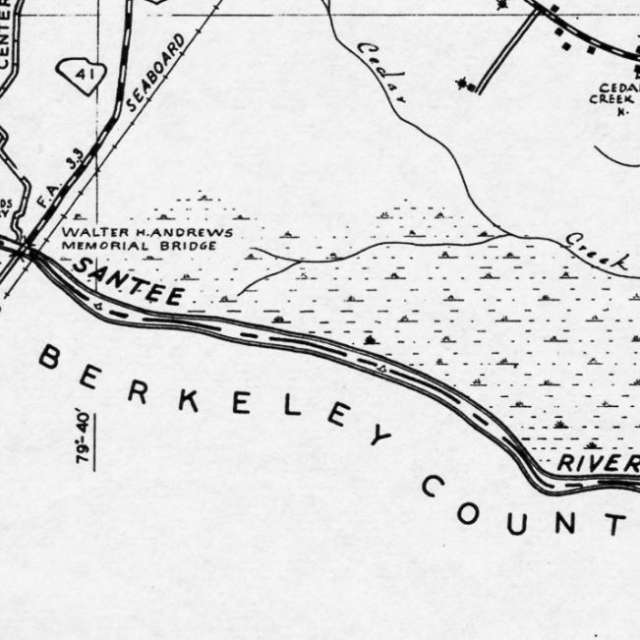
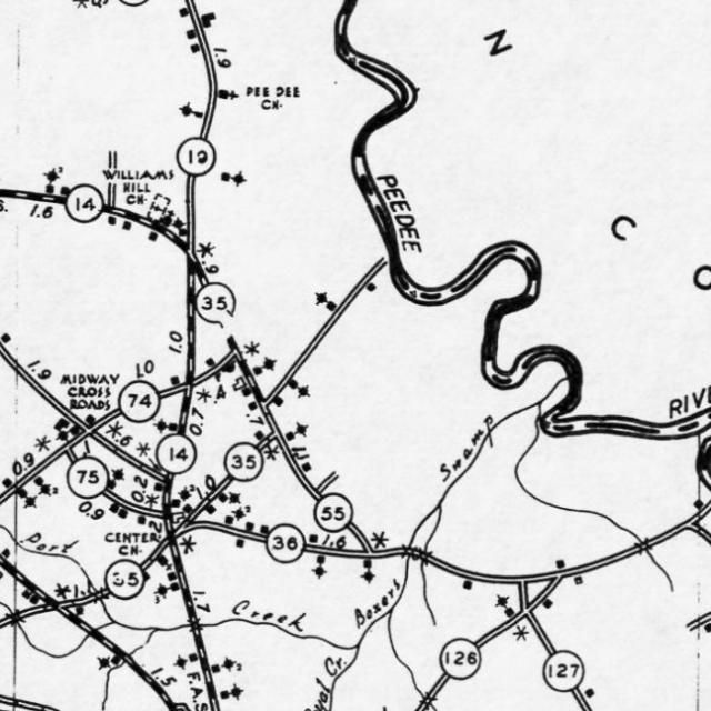
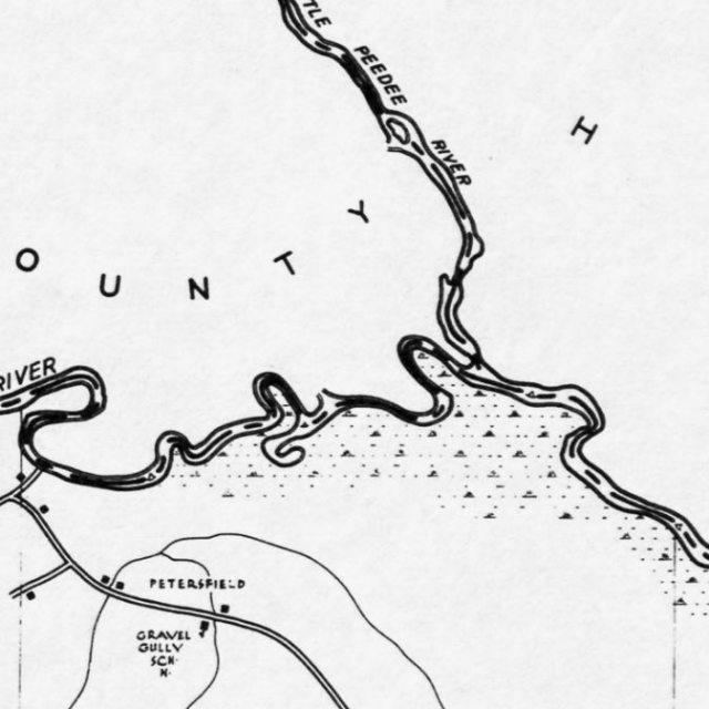
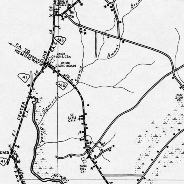
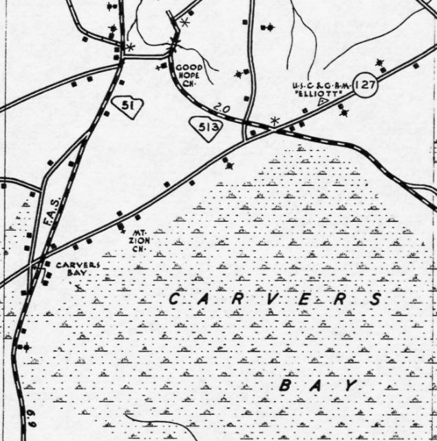
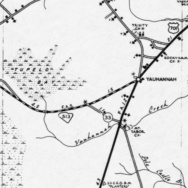
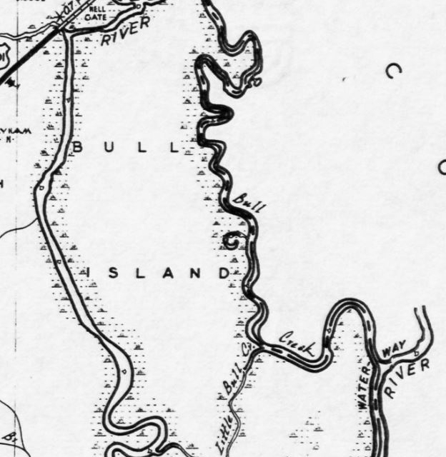
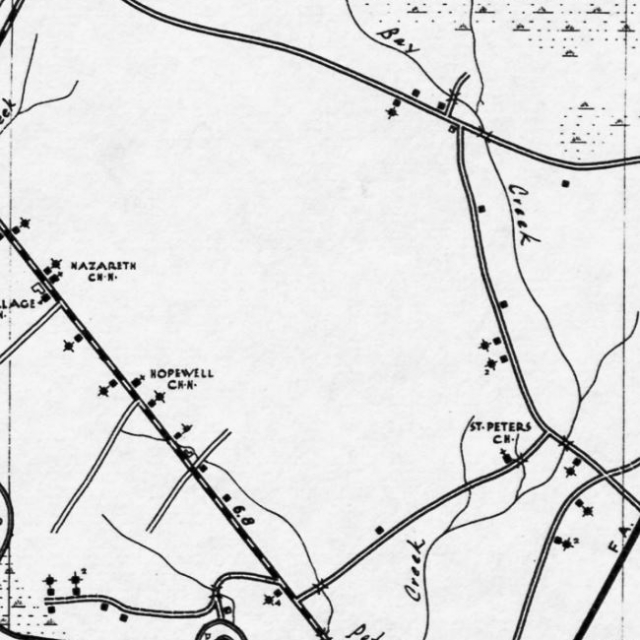
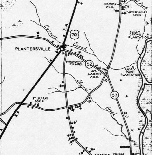
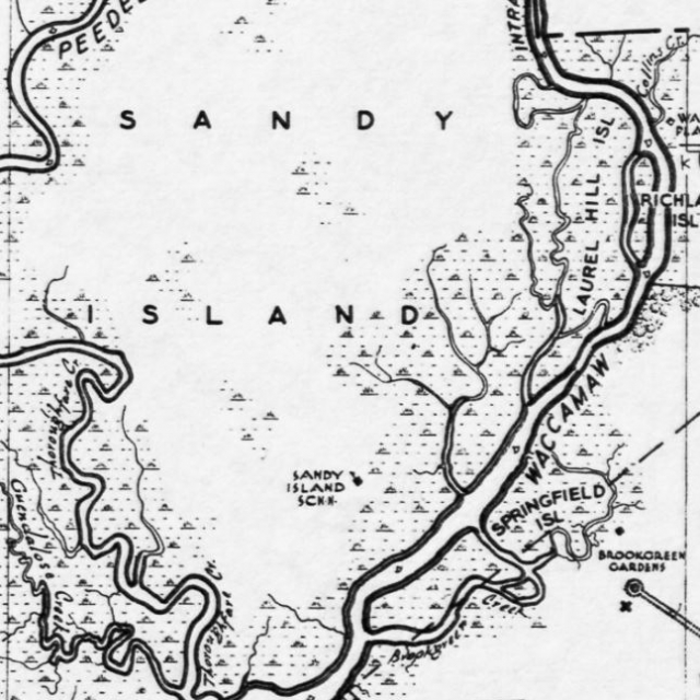
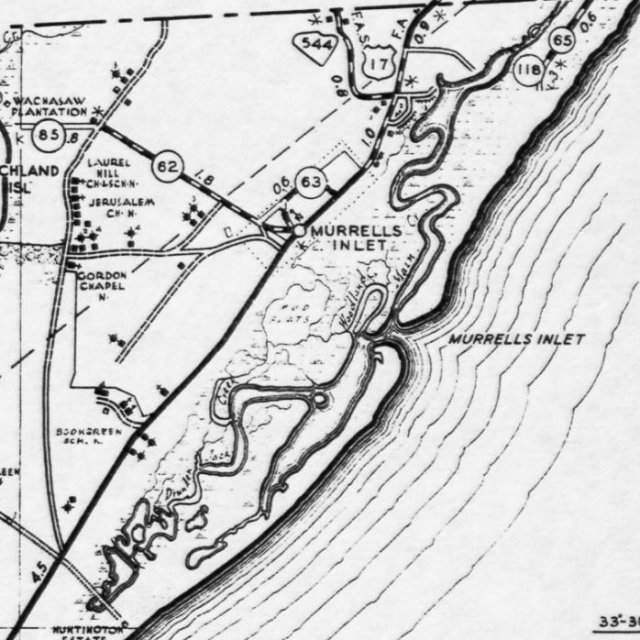
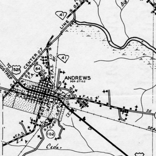
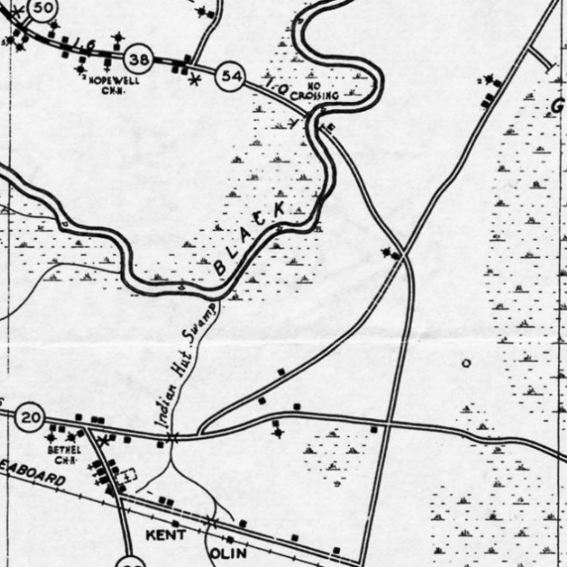
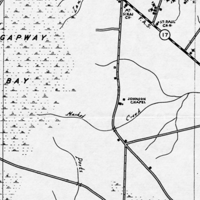
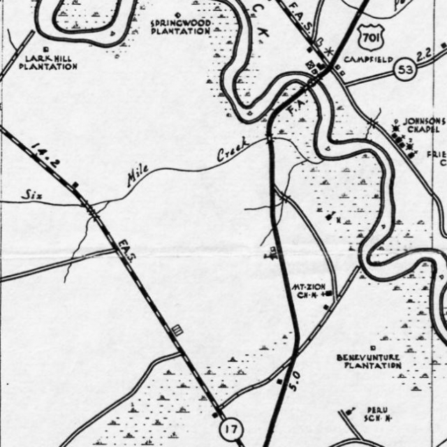
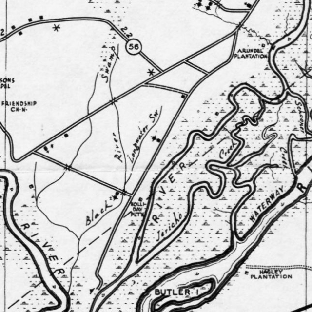
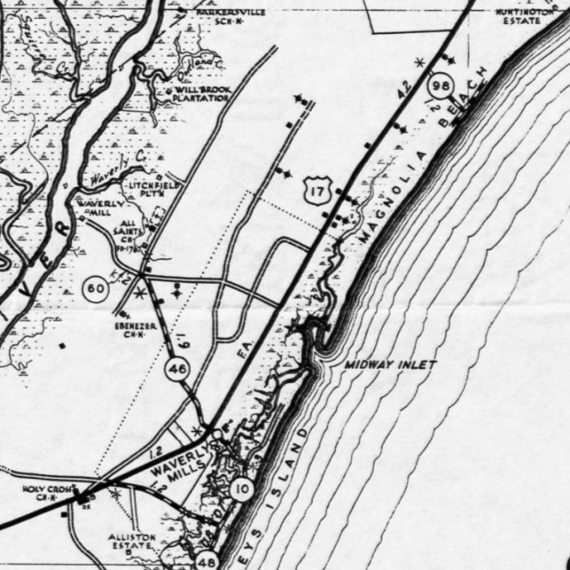
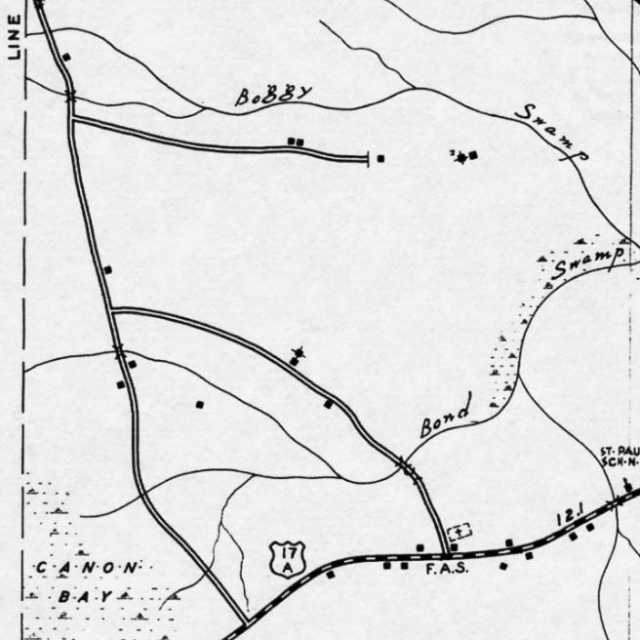
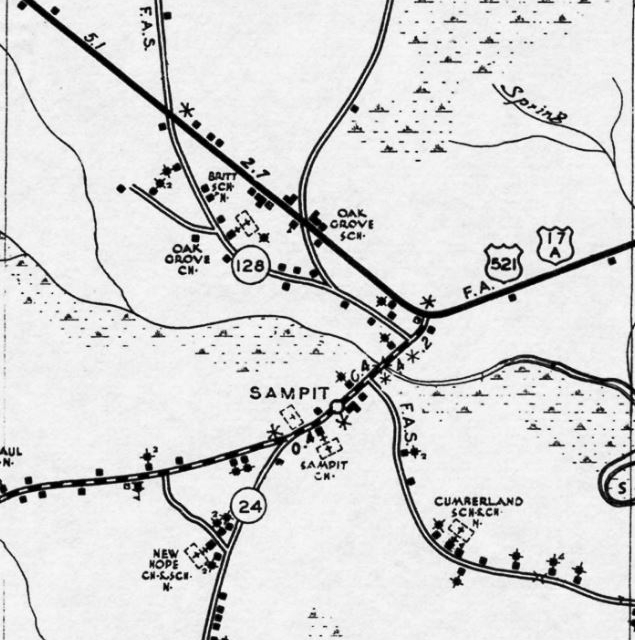
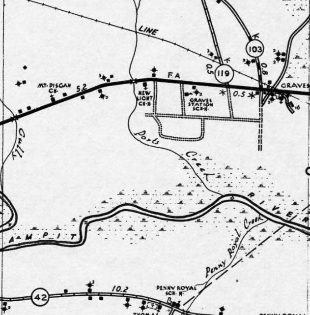
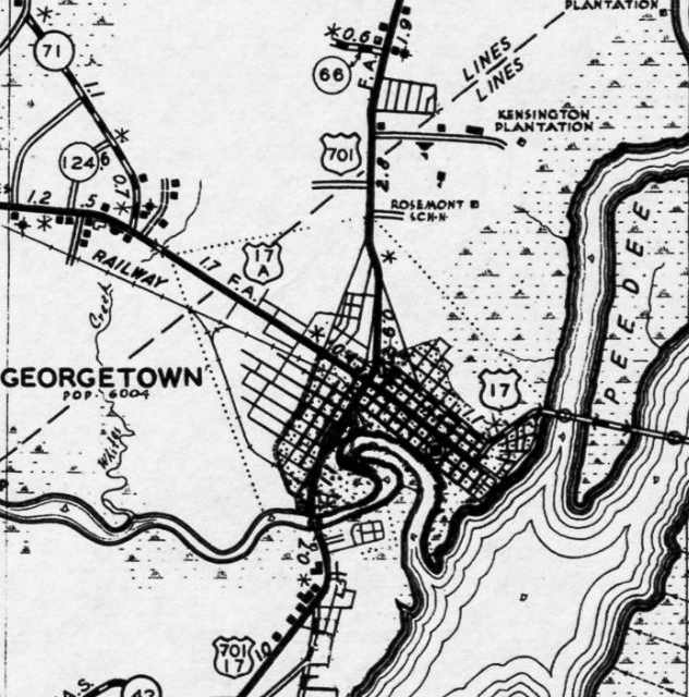
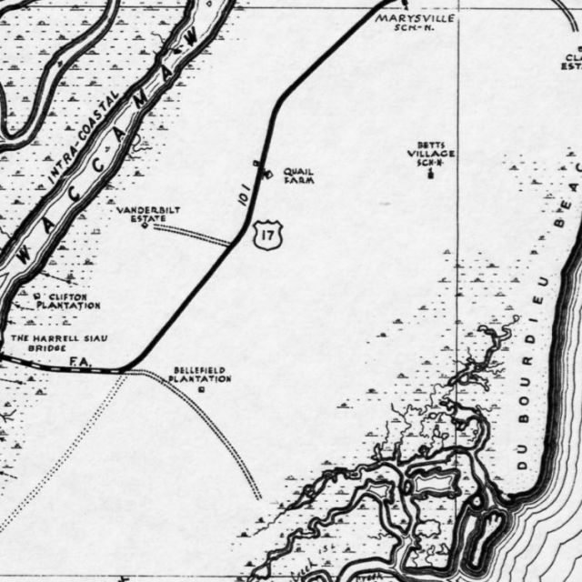
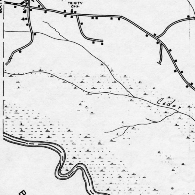
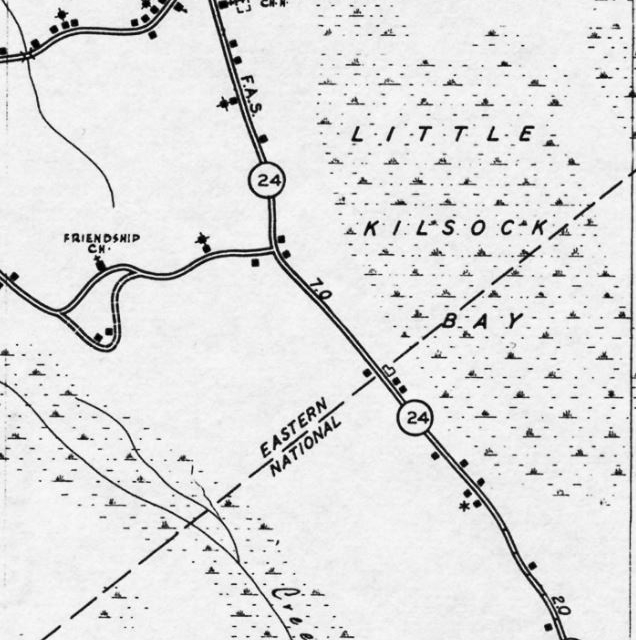
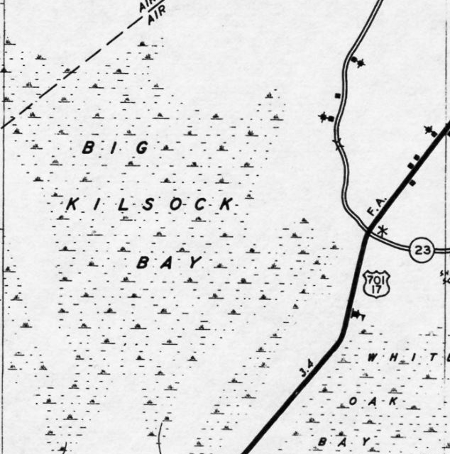
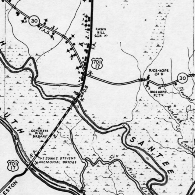
City Directories and History: Enhanced SCDOT maps of Georgetown County can be found under the MORE INFORMATION link. These maps show the county with significant historical details such as stores, churches, cross roads, and schools in the rural communities. (Old Road Maps – Georgetown County, S.C.)
Individual sections of the 1930’s SCDOT road map are also available below. Georgetown County is divided into (36) sections beginning with the northwest corner #1, and ending with the southeastern corner #36. These individual maps may also be accessed by searching for their captions, example: Section #1, will be loaded with accompanying images.
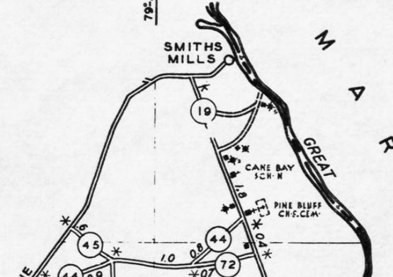
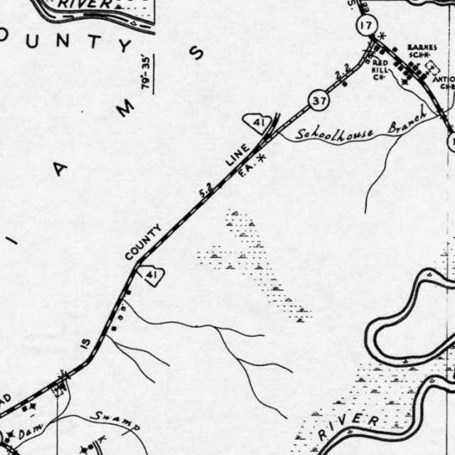
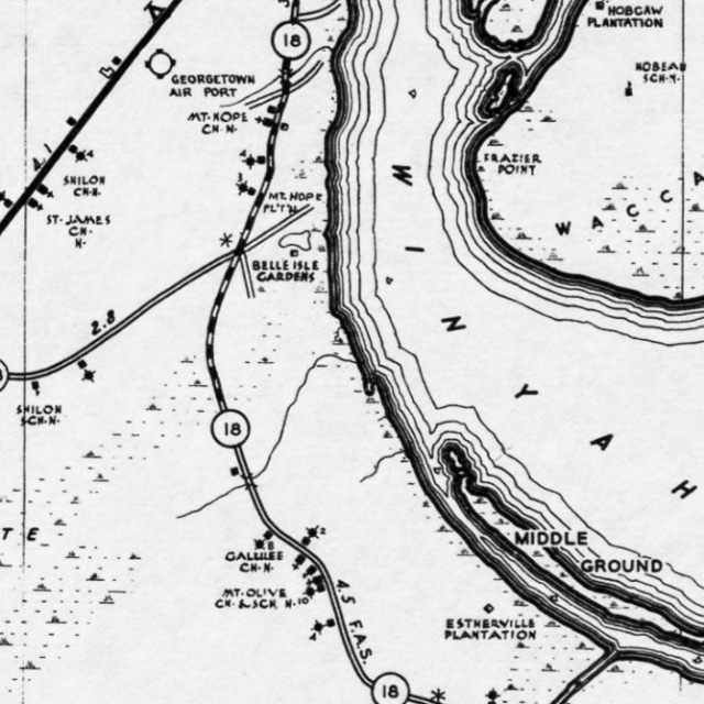
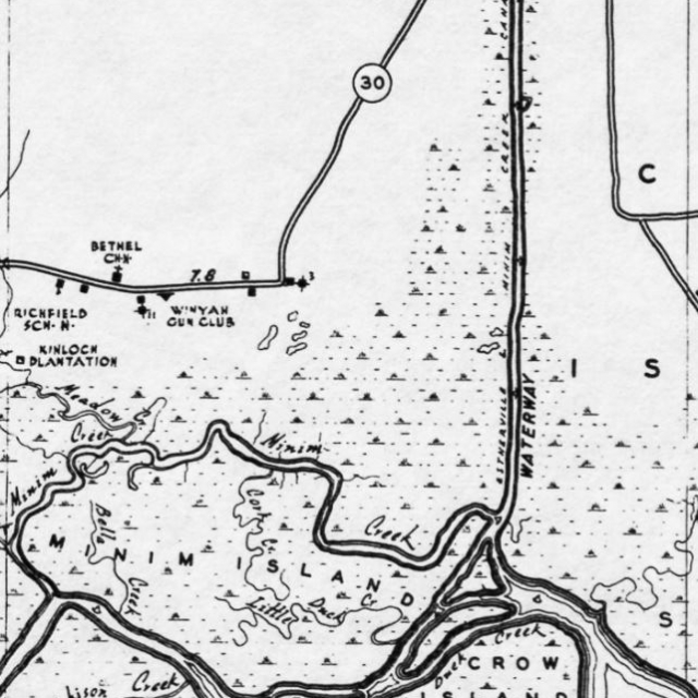
Section #18
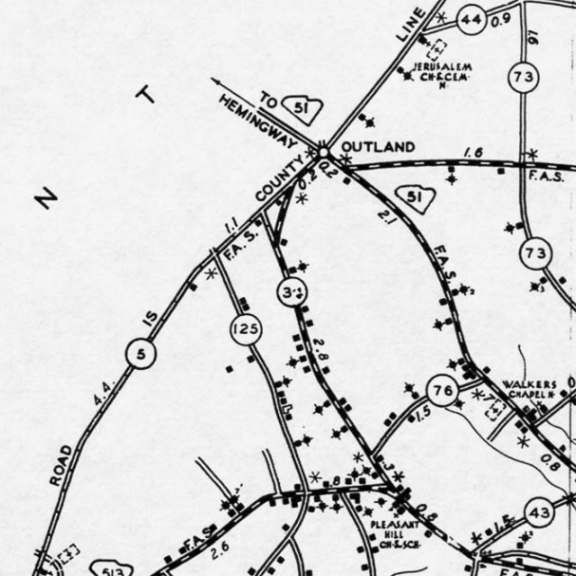
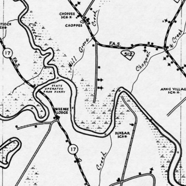
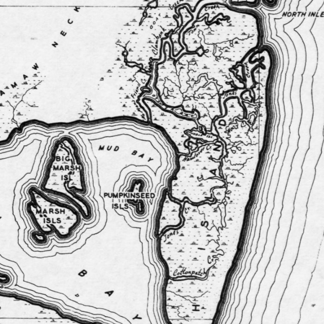
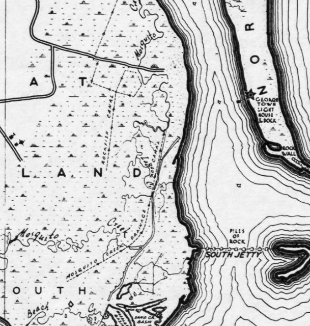
Section #19
Due to the sheer size of these maps, it is best to view them on a computer. It will take a minute or more to load each – use the map features plus button, found at the bottom right corner of the maps page, to enlarge the map.
Stay Connected
Explore history, houses, and stories across S.C. Your membership provides you with updates on regional topics, information on historic research, preservation, and monthly feature articles. But remember R&R wants to hear from you and assist in preserving your own family genealogy and memorabilia.
Visit the Southern Queries – Forum to receive assistance in answering questions, discuss genealogy, and enjoy exploring preservation topics with other members. Also listed are several history and genealogical researchers for hire.
User comments welcome — post at the bottom of this page.

User comments always welcome - please post at the bottom of this page.


Share Your Comments & Feedback: